
New York ZIP Code Directory by Region
No single official static table covers every New York ZIP and post office. USPS's live lookup supplies an exact address result. These regional examples are representative, not exhaustive, and do not claim that every code in a range serves each named place.
Use a row to locate a region, then verify the street and recognized mail city. Postal labels can cross local lines; the county or city custodian decides which parcel, voter, or court record applies.
| ZIP | Areas Covered | Post Office | Notes |
|---|---|---|---|
| 12201-12212; 12180-12183; 12301-12309; 12866 | Capital District: Albany, Troy, Schenectady, Saratoga Springs | Albany, Troy, Schenectady, Saratoga Springs | Regional orientation; municipality and county lines differ |
| 12601; 12550; 12401; 12508; 10601 | Hudson Valley: Poughkeepsie, Newburgh, Kingston, Beacon, White Plains | Same named postal communities | River and town boundaries may differ from postal names |
| 10001-10282 | Manhattan | Manhattan / New York | NYC borough system; confirm the borough and parcel key |
| 10451-10475 | Bronx | Bronx | NYC borough system; confirm the borough and parcel key |
| 11201-11256 | Brooklyn | Brooklyn | NYC borough system; confirm the borough and parcel key |
| 11001-11697 | Queens | Queens and recognized local names | NYC borough system; confirm the borough and parcel key |
| 10301-10314 | Staten Island / Richmond | Staten Island | NYC borough system; confirm the borough and parcel key |
| 11001-11803 | Nassau County communities | Varies by USPS-recognized community | Village and hamlet lines need local verification |
| 11701-11980 | Suffolk County communities | Varies by USPS-recognized community | Village and hamlet lines need local verification |
| 13201-13224 | Syracuse and nearby delivery areas | Syracuse | Check municipality and SWIS before parcel research |
| 14602-14694 | Rochester and nearby delivery areas | Rochester | County GIS can help identify the parcel custodian |
| 14201-14280 | Buffalo and nearby delivery areas | Buffalo | Postal area does not set city or county jurisdiction |
| 13901-13905 | Binghamton and nearby delivery areas | Binghamton | Verify street and municipality for rural edges |
| 13601 | Watertown | Watertown | North Country postal area; verify parcel jurisdiction |
| 12946 | Lake Placid | Lake Placid | Town, county, and park boundaries are separate |
Ranges are for regional orientation only; they do not assign every number in a band to every place shown. USPS may return more than one recognized city for a ZIP. Check the full address in the live tool before using the postal label to choose a records office.
Check a New York Address at USPS
The USPS address lookup offers ZIP by Address, ZIP by City and State, and Cities by ZIP. An address search needs a street; company and unit fields are optional. Add apartment or suite details if more than one match appears.
USPS recommends a recognized city name. A ZIP result validates mail routing only; it does not confirm that a person or company is at an address.
| USPS field or mode | What to enter |
|---|---|
| ZIP by Address | Street required; company optional; apartment or suite optional; city and state used to refine the address. |
| ZIP by City and State | City and state required; returns postal ZIP information for the recognized place. |
| Cities by ZIP | ZIP required; may list more than one recognized postal city. |
| ZIP Code | Optional with an address search; use it to validate an address, and enter it to search Cities by ZIP. |
| Find | Submit the selected lookup; add a unit when multiple address matches need narrowing. |
The USPS live lookup shows the address, city/state, and ZIP-to-cities modes used to validate a New York delivery label.
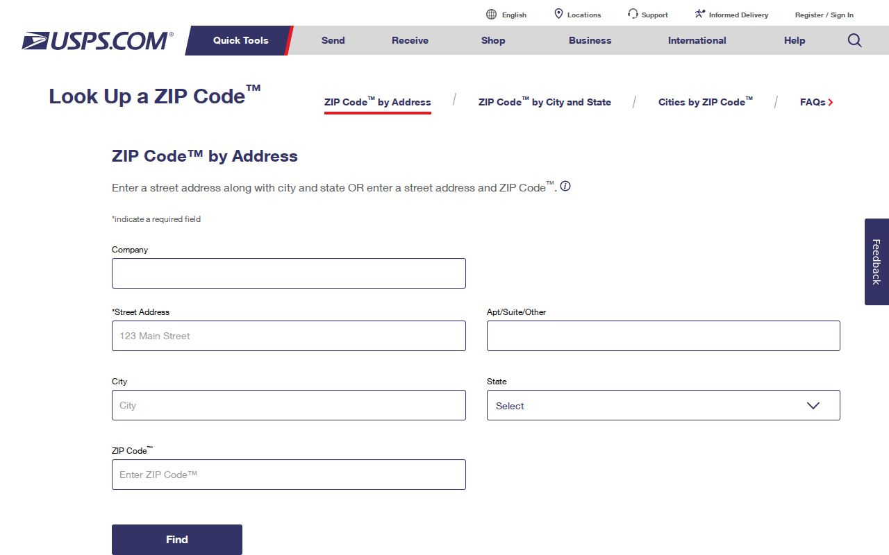
Keep the resulting city name as a postal clue. A second step must connect that address to its actual town, village, borough, or county before a local record search begins.
New York ZCTAs Map ZIP Patterns
The Census Bureau's Gazetteer and ZCTA files provide current and historical statistical geography, including 2026 ZCTAs. A ZCTA is an approximation used to report and map population or area patterns; it is not the USPS delivery boundary for an individual address.
Use a ZCTA when the question is about regional context or comparing geography by year. Do not use its edge to decide which county clerk holds a deed, where a voter is registered, or whether a named person lives inside a boundary. Postal routes and statistical polygons serve different purposes, and a year's geography may not match an earlier directory or census schedule.
The Census Gazetteer page links the download path for current and past geographic reference files.
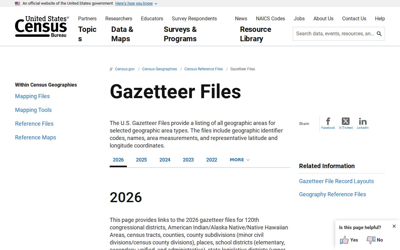
Use the file year in any map or comparison note. A statistical outline can help explain a region, while the USPS address lookup remains the page-specific source for current delivery information.
New York ZIP Codes Cross Civil Lines
A ZIP is a mail-delivery construct. It is not a city, town, village, county, school district, election district, or parcel municipality. One ZIP can serve several local governments, and one city can use many ZIPs. A recognized postal city can differ from the legal municipality printed in a tax or court record.
That difference matters in New York because local offices hold different records. A postal city may point toward a broad region, but the street address and its actual municipality determine which assessor, clerk, or Board of Elections has jurisdiction. A ZIP-only query should therefore stop before it is treated as a resident list or a civil boundary.
When the postal name and the local government's name do not match, keep both labels in your notes: USPS's recognized city for delivery and the municipality or county confirmed by a parcel or official local source. That distinction helps prevent routing a request to a neighboring town.
New York Borough ZIP Searches
New York City's five boroughs are also county equivalents: Bronx, Kings, New York, Queens, and Richmond. Borough names are common postal shorthand, but property searches inside the city follow a different structure from the upstate county-clerk model. The Department of Finance and City Register use borough, block, and lot identifiers rather than one generic statewide parcel key.
For a city property question, confirm the borough and exact parcel through the NYC Department of Finance property lookup or the appropriate City Register route. A Manhattan postal label, for example, does not by itself supply the borough-block-lot number or establish which city record to request. Treat the postal area as the first locator only.
Do not carry the borough shortcut into another county's records. Outside New York City, use the actual county and municipality, then follow that area's assessor and clerk systems. The statewide ZIP code directory can point to a region, but the local parcel system defines the property identifier.
New York Parcel Data Has Limits
The New York State GIS parcel publication offers a useful bridge where local parcel data is hard to discover, but it is a download, not a statewide live owner-name search. The March 2026 release covers redistributed 2024-2025 parcel geometry and selected assessment attributes from 38 counties. Statewide coverage is therefore incomplete, and the publication does not replace the local assessor or county clerk.
The state notes that county-supplied parcel geometry is not edge-matched across county borders, and NYC uses MapPLUTO. Do not read a seam or gap in the shared map as a legal lot line. The NYS GIS parcel metadata describes participating coverage and limits; Office of Real Property Tax Services assessment manuals define roll fields.
Some local assessor portals let a user filter by ZIP; others rely on address, owner, parcel key, or municipality. If there is no ZIP filter, move from USPS city to a verified street and municipality, then use the local key. State assessment files can include parcel address, owner name, mailing destination, and tax-system IDs such as SWIS/SBL or print key. These fields identify a parcel record; a mailing address does not show who lives there. Other counties may require direct local access.
New York Rural ZIP and Hamlet Labels
In the North Country and Adirondack region, a postal community name may sit beside a wide rural delivery area, a town boundary, or a hamlet name. A street or route used by local residents may not appear under the same label in every public record. Confirm the full USPS-recognized address, then identify the town and county for the local file.
Parcel, 911, and postal address systems can serve different tasks. The parcel record anchors property to a local tax identifier, while the postal line routes mail. A hamlet or post-office name can be familiar and still not identify the assessor or court custodian. Use a map or parcel layer for orientation, then check the municipality with the office that maintains the local record.
Follow the New York Lookup Chain
A ZIP-keyed resident search is a routing problem, not a statewide people search. New York's VoterLookup asks for a county, first and last name, date of birth, and ZIP; it helps an individual check registration, not browse all names in a postal area. Public voter lists and historical or full list requests go to the county Board of Elections, under that board's inspection and distribution rules.
Use this sequence to move from a postal clue to the right record holder:
- Enter the exact street and unit in USPS, then note the recognized city and ZIP.
- Verify the civil municipality, borough, and county from an official local or parcel source.
- Identify the local assessor or GIS system and its available address, ZIP, or parcel filters.
- Use the matching clerk, voter board, or court custodian for the specific dated record.
- Compare the record's role and date before drawing a conclusion about a person.
If the ZIP narrows the question to a named street or exact address, the New York street directory handles the address-keyed record route. Keep this postal guide focused on geography and on getting the search to the correct jurisdiction.
What New York ZIP Codes Cannot Prove
A ZIP result locates mail service, not a resident. It does not show that a named person or business occupies an address, owns a parcel, or belongs to a particular city, school, election, or court district. Use the result as one dated address clue and ask the record custodian what its own index represents.
Several postal terms can help describe what a search returned, but none creates a civil boundary or a person-level list.
- ZIP+4
- The four-digit extension after a five-digit ZIP that narrows mail delivery within that ZIP.
- PO-box ZIP
- A ZIP associated with post-office-box delivery; check the live USPS result for the address type it serves.
- Unique ZIP
- A ZIP assigned to one organization or high-volume addressee rather than an ordinary neighborhood area.
- Carrier route
- A delivery route used to sort and carry mail within a postal area, not a town or county line.
The current postal answer comes from USPS. Census ZCTAs can describe broad statistical geography, and a parcel layer can help identify a local assessor, but neither is a statewide resident directory.