
New York Street Directory Chain
Carry each result forward only when it answers the next question. Start with a complete address and keep the municipality beside the postal city. New York uses local assessment and deed systems, so the county or borough matters before an owner record can be matched. A parcel, the tax-mapped unit of land, and its key link the assessment roll to a map and often point toward a deed. Voter and permit records add dated roles; old directories give snapshots.
- Validate the street form and postal ZIP with the USPS address lookup; its address, city/state, and ZIP modes return mailing geography.
- Identify the county, city, town, or village that keeps the property roll. New York has no single live statewide owner-name search.
- Search the local roll by street address, then note the owner, mailing address, assessment year, and parcel key.
- Open the same parcel in the county GIS (geographic information system) viewer, check nearby lots and layers, and record the map’s date and municipality.
- Use the deed book/page or parcel description to reach the county clerk’s index and follow earlier grantors or grantees.
- Only then compare a date-specific voter list or permit record, keeping voter, applicant, and owner roles distinct.
USPS cautions that a ZIP result does not prove a person or company is at an address. The assessment roll records property and tax relationships, not a headcount, so separate sources do not become a current household roster.
New York Street Directory Records
New York records searchable by address describe different events and roles. County assessors maintain the tax roll; county clerks record land instruments in most of the state. New York City uses the City Register and Department of Finance for land and property data. Municipal building departments hold permit and code files, while county election boards handle list questions. Identify the custodian and date instead of treating every entry as a current resident.
| Address Record | Custodian | What It Can Show | Route |
|---|---|---|---|
| Assessment roll | County or local assessor | Owner, parcel, mailing and tax fields | Local portal, roll inspection, or request |
| Parcel GIS | County or municipal GIS | Parcel shape, nearby lots, map layers | Viewer or records room |
| Deed and lien index | County Clerk; NYC City Register/DOF | Recorded parties, instrument and title trail | Local index, counter, or copy request |
| Voter list | County Board of Elections | Eligible registration fields for a list date | Board procedures and Election Law |
| Permit or code file | City, town, or village department | Application, inspection, violation, work date | Municipal portal, counter, or Freedom of Information Law (FOIL) request |
| Reverse directory | Library or historical collection | Published household or business at a past date | Catalog, microfilm, or reading room |
Online coverage varies. If a needed year or image is missing, ask the custodian about counter, phone, mail, or inspection access.
New York Assessor Address Fields
The New York State Office of Real Property Tax Services (ORPTS) publishes assessment guidance; local assessors set current search options. Its data dictionary includes address, owner, deed-reference, and map fields. County portals may expose only some or use different labels. Try the normalized street form, official suffix, directional, or parcel key from the local tax map.
- Parcel
- A tax-mapped unit of land tracked for assessment; one street address can relate to more than one lot or tax unit.
- SWIS and SBL
- SWIS is the municipality code; SBL means section-block-lot. These local identifiers connect roll data to a parcel.
- Situs and mailing address
- Situs is the parcel’s physical location. Mailing address is where tax notices go, and may be elsewhere.
- Plat
- A map showing a lot or subdivision layout; check its filing and date because it is not a boundary survey.
- Criss-cross directory
- A dated reverse directory searched by street address to find a listed household, subscriber, or business.
| Field or Search | Where to Use It | What It Connects | Check Before Inferring |
|---|---|---|---|
| Address number, street, suffix | Assessor or county GIS | Parcel location on a named street | Try directional and suffix variants |
| Owner and additional owner | Assessment roll | Tax-roll ownership names | Not proof of occupancy |
| Mailing address | Assessment roll | Where tax mail is sent | May differ from the property |
| SWIS/SBL or print key | Roll, GIS, deed index | Local parcel identity | Formats vary by municipality |
| Deed book and page | Assessment card to clerk | Recorded instrument reference | Image availability varies |
| Property class, grid east/north | Roll or map record | Tax and map context | Coordinates are not a survey |
ORPTS data does not create a uniform live owner search. It joins geometry through local keys but remains a tax record. Keep the roll year and update date with the result, especially after a parcel split or ownership change.
New York Parcel Map Coverage by Address
The NYS 2024-2025 Statewide Parcels for Public Use release, with metadata published in March 2026, includes geometry and selected roll attributes from 38 counties that authorized redistribution. Attributes join the 2024-2025 roll through SWIS/SBL or SWIS/print key. It is not a complete live statewide owner search.
County-supplied geometry was not edge-matched across county borders, so a street on a county line can show a seam. Search nonparticipating counties directly. New York City uses MapPLUTO property data. The state parcel set is neither a deed archive nor a boundary survey; use a local legal description when title or boundary questions matter. Monroe County’s parcel viewer shows the kind of county map where a user can select parcels and layers.
New York Deeds by Address Key
An assessment card’s deed book/page, index number, or tax key leads from a parcel to recorded parties. In most of New York the land-record office is the County Clerk, though portals and index years vary. Search grantor and grantee separately: one transfers an interest, the other receives it. The legal description and municipality help confirm the parcel.
Move backward with the prior instrument reference, legal description, or earlier owner name. A deed records a transfer of title, not the people living at the property. A mortgage, satisfaction, lien, easement, map, or judgment can add context, but each has its own parties and purpose. Keep filing date, document type, parcel key, and role together as the chain grows; name matches alone can join unrelated people.
New York Clerk Address Requests
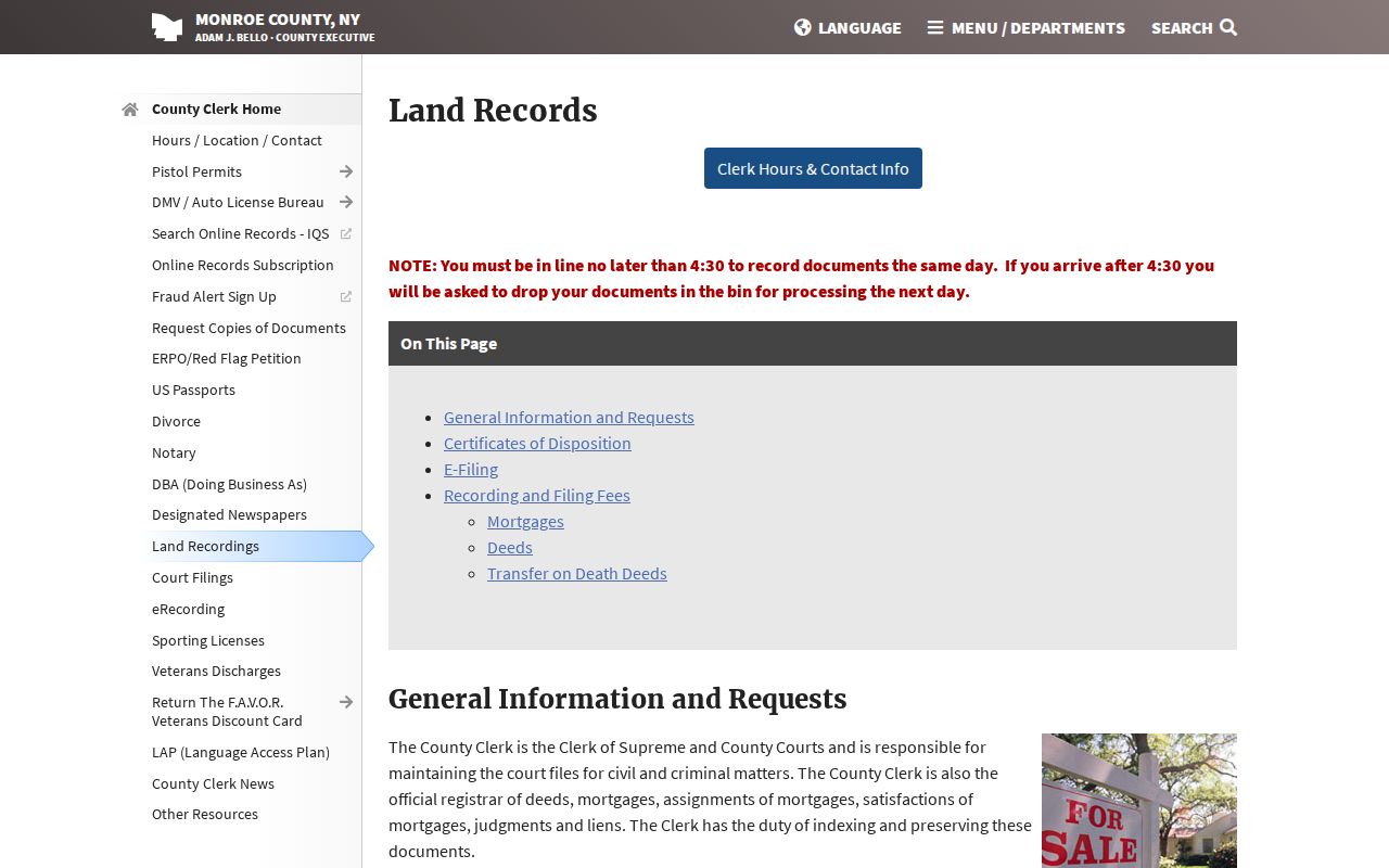
Monroe County offers a concrete example of how a New York clerk combines online and offline land-record access. Its County Clerk land-record page links the IQS online search and explains counter, phone, fax, and mail requests. The page asks researchers to include an index number, record type, filing date, and party or business names. Online coverage years are not stated there, so check with the clerk when an older filing is needed.
For a copy or search question, Monroe County lists 585-753-1600, fax 585-753-1650, and mail at 39 W. Main Street, Room 105, Rochester, NY 14614. Its historical search charge is $5 per two years, and copies are $0.65 per page with a $1.30 minimum. Those amounts describe Monroe County only; another county may set different search, image, and certification fees. The clerk page also links a property-fraud alert signup.
The source image below is the county’s own land-record access page, which shows the official search and copy-request routes.
Monroe also notes that Real Property Law §424 transfer-on-death deeds took effect July 19, 2024, and provides local forms and policy. That update is a useful reminder to check each county’s document types; the Monroe policy does not set a statewide procedure.
New York Street Permit Records
Permit, code, planning, and inspection files can add an address-specific date or explain a change to a building. They may name an owner, applicant, architect, contractor, or representative. Those roles describe a filing or project, not a household. Outside New York City, the relevant city, town, or village department controls its own portal and retained records; no single statewide municipal permit index was located.
New York City’s documented model uses BIS for older filings and DOB NOW for newer electronic records. The public address query takes House Number, Street Name, and Borough, then submits with Search; a BIN or borough-block-lot can also identify a property, and Building on My Block supplies a neighborhood-oriented route. The NYC Department of Buildings manual describes the portals. Use this as a city-specific example, then ask the local building office elsewhere.
New York Voter Searches by Address
NYS VoterLookup asks for county, last name, first name, date of birth, and ZIP Code. It is a self-service check for a voter’s own registration, polling place, and mail-ballot information, not a public browse of everyone on a street. A street-by-street voter question belongs with the county Board of Elections, which handles list inspection and requests under Election Law and local procedures.
Election materials describe lists with fields such as voter name, address, municipality, election district, party enrollment, and registration date; other fields can be restricted, and qualifying voters may have confidential records. List availability, permitted handling, and any fees are controlled by the county board and Election Law. Do not treat an old district list as current or a matching name as proof that a particular person occupies a property.
New York Criss-Cross Street History
A criss-cross or reverse directory starts with a street address and points to a person, household, subscriber, or business in a published year. It can help reconstruct who was associated with a block before online records, but each volume is a dated snapshot with its own gaps and abbreviations. Telephone books and ordinary city directories may use different address and name conventions, so compare the entry with a second source before assigning a role.
The New York State Library is the statewide historical starting point for directories and microform; local libraries, county historians, and historical societies may hold a closer run. Catalog terms such as the town name, “reverse directory,” “criss-cross,” and a year can surface relevant volumes. For collection routes and directory-reading methods, see the New York city directory collections.
New York Street Number Changes
New York has no statewide list of renamed or renumbered streets. Grids, annexations, town changes, rural-route conversions, apartment numbering, and postal-city practices can break a match between an old directory and a current map. Addresses can also change after a parcel split or consolidation. Keep old and current forms together; a similar street name may refer to another place.
Bridge a change with the parcel ID or legal description, then compare a historical atlas, Sanborn map, city directory, and municipal clerk or highway records. A local historian or library can help identify the right map series. If the road follows a county boundary, check both county portals because the state parcel geometry is not edge-matched. Mark the source date beside each address so a later reader can follow the reasoning.
New York County Address Routes
New York has 62 counties, and no single county contains the statewide record trail. The five NYC boroughs are county equivalents: Bronx, Kings, New York, Queens, and Richmond. County Clerks register land in most of the state; city land records route through the City Register and Department of Finance. Local assessor, clerk, and GIS coverage varies.
A postal city is not always the civil municipality, and a ZIP can cross town or county lines. Identify the tax district and county before choosing an assessor or deed index. For family or property history, a city label can point to the wrong county unless the parcel and municipality are checked. If an online record is missing, ask the local custodian how to request it.
What a Street Search Cannot Show
Public property files do not list everyone who lives in a building. A tax roll may name an owner and a separate mailing address; a deed names parties to a transfer; a permit names people involved in a project; and a directory may name a past subscriber. These records can help verify a parcel or trace a dated history, but none supplies a complete current household list. Private utility and delivery-customer details are not a public address index.
Privacy and lawful use. Use New York records for a defined personal, family-history, property, or civic question. Do not use address information to stalk, harass, intimidate, or expose a person; protected records and safety programs must be respected.
For a difficult street search, return to the parcel key, date, and custodian rather than broadening into unrelated personal records. New York’s Address Confidentiality Program gives eligible survivors and covered household members a substitute mailing address, but it does not erase every underlying land or historical record.